
Experts from Pakistan and several countries participated in an international workshop here on the use of Geographic Information System (GIS) and remote sensing technologies for mineral exploration and environmental management.
Experts explore GIS, remote sensing for sustainable mineral development
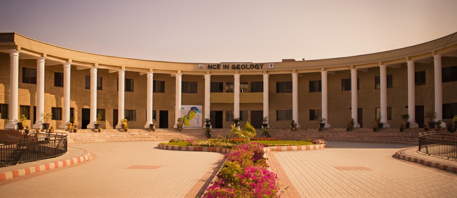
PESHAWAR, Aug 20 (APP): Experts from Pakistan and several countries participated in an international workshop here on the use of Geographic Information System (GIS) and remote sensing technologies for mineral exploration and environmental management.
The one-day workshop, titled “GIS and Remote Sensing for Mineral Mapping and Environmental Strategies,” was organized at the National Centre of Excellence in Geology (NCEG), University of Peshawar.
Specialists from China, Australia, Canada, Saudi Arabia and Pakistan shared their expertise through technical presentations and practical sessions focusing on mineral mapping, geospatial technologies, artificial intelligence, environmental management and sustainable mining.
The event also provided an opportunity for researchers, academics and professionals to exchange knowledge and explore modern techniques for improving mineral exploration and addressing environmental challenges.
Secretary Mines and Minerals Department Khyber Pakhtunkhwa, Dr Muhammad Israr, attended the concluding ceremony as chief guest and appreciated the initiative aimed at strengthening technical capacity in the field.
The workshop was convened by Prof Dr Liaqat Ali, while Dr Muhammad Shahab served as chief organizer, assisted by Dr Saad Khan and Dr Muhammad Malik Saad as co-chief organizers.

